
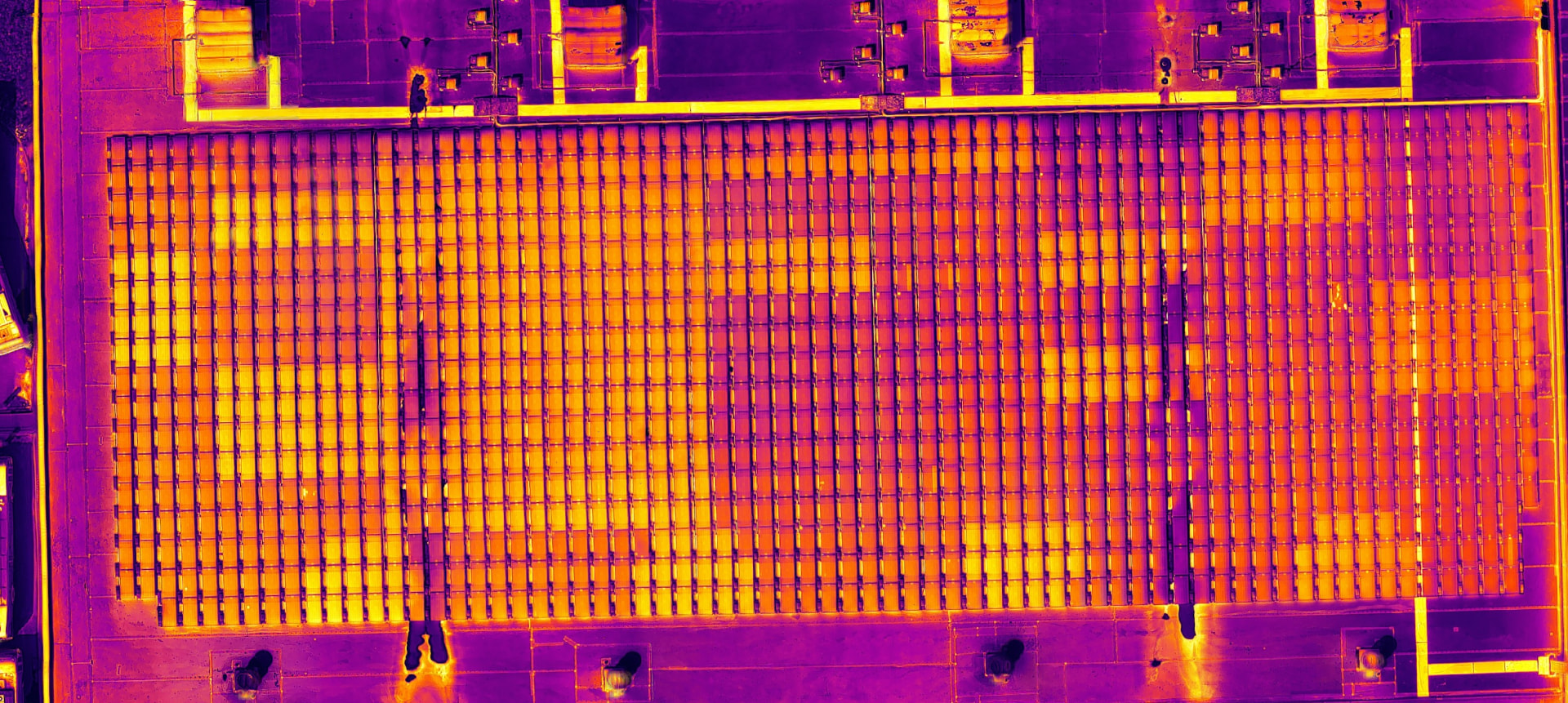
IndyGo 1501 Washington Roof Inspection
Vanguard Geospatial Intelligence · Sketchfab
Portfolio
Models, maps and assessments of the physical world.
Vanguard Geospatial Intelligence · Sketchfab
Vanguard Geospatial Intelligence · Sketchfab
Vanguard Geospatial Intelligence · Sketchfab
Portfolio imagery
RGB orthomosaics, thermal surveys, elevation models with contours, ground-classified surfaces and 3D model captures — drawn from real Vanguard projects.
RGB orthomosaic
LiDAR · Elevation & contour map
LiDAR · DTM
Thermal capture
Start here
Whether you are documenting existing conditions, investigating a specific concern, establishing a digital baseline, or monitoring change over time, we can help determine the right approach.