
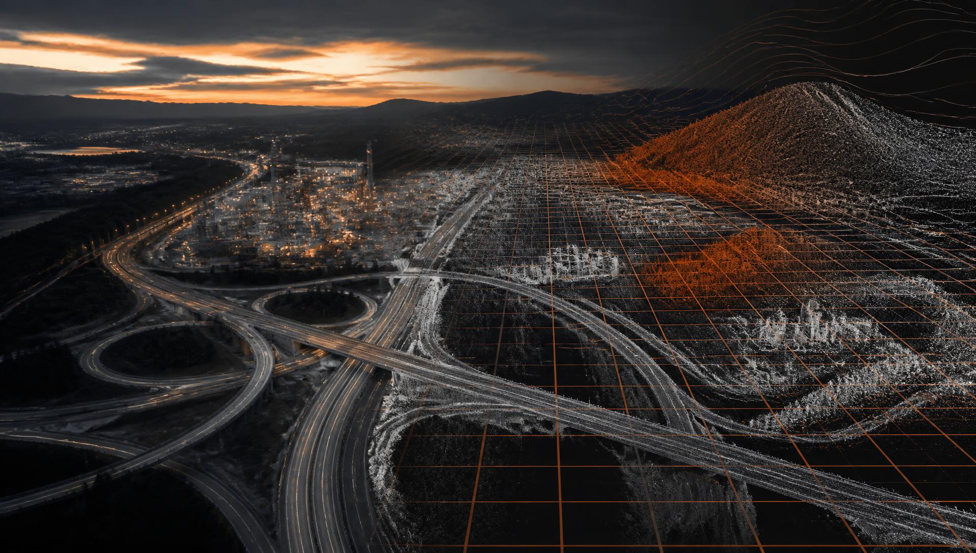
Geospatial intelligence.
A clearer view of your assets.
We help organizations better understand and manage their facilities, infrastructure, and construction projects. Our imaging and mapping technologies complement traditional methods, capturing detailed information faster, more safely, and more efficiently. From assessing conditions and identifying potential problems to tracking construction progress and changes over time, we deliver the information you need to make smarter decisions today and plan more effectively for tomorrow.
Why Vanguard
Faster. Safer. More Cost-Effective.
Faster
Large sites, roofs, and corridors can often be documented in hours rather than days, so information reaches your team sooner.
Safer
Remote capture can reduce the need for ladders, lifts, roof walks, and time spent in traffic or hazardous areas.
More Cost-Effective
Fewer site visits, less equipment, and less disruption to operations can lower the overall cost of getting the information you need.
Benefits vary by project; we'll tell you up front where our methods add the most value alongside traditional approaches.
What we do
From physical conditions to clear decisions.
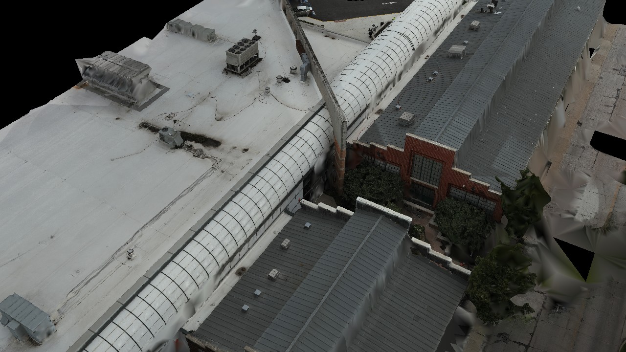
Asset & Facility Intelligence
A clear, located record of your buildings and physical assets.
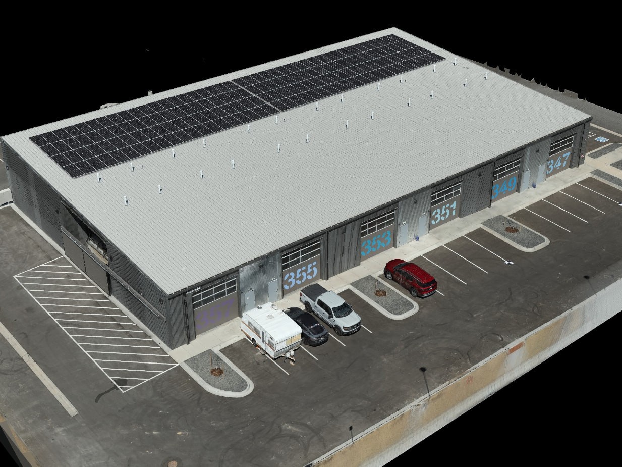
Geospatial Mapping & Digital Modeling
Accurate maps and 3D models of existing conditions.
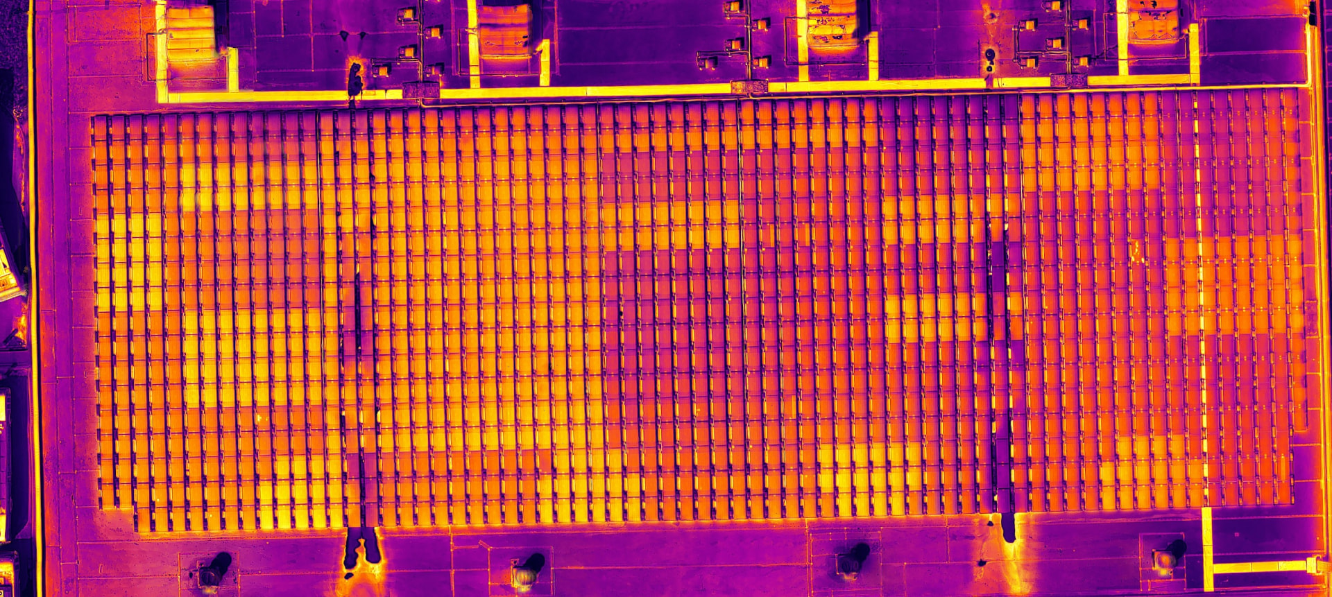
Thermal & Condition Assessment
Locate and document thermal anomalies and areas of concern.
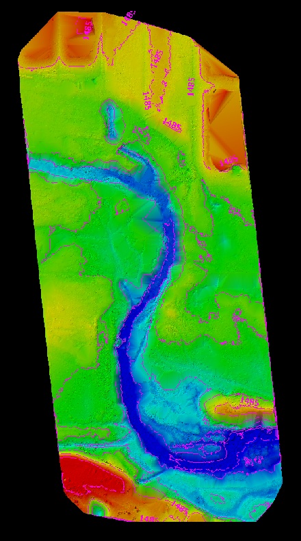
Terrain & Drainage Intelligence
Understand ground conditions, flow paths and surface change.
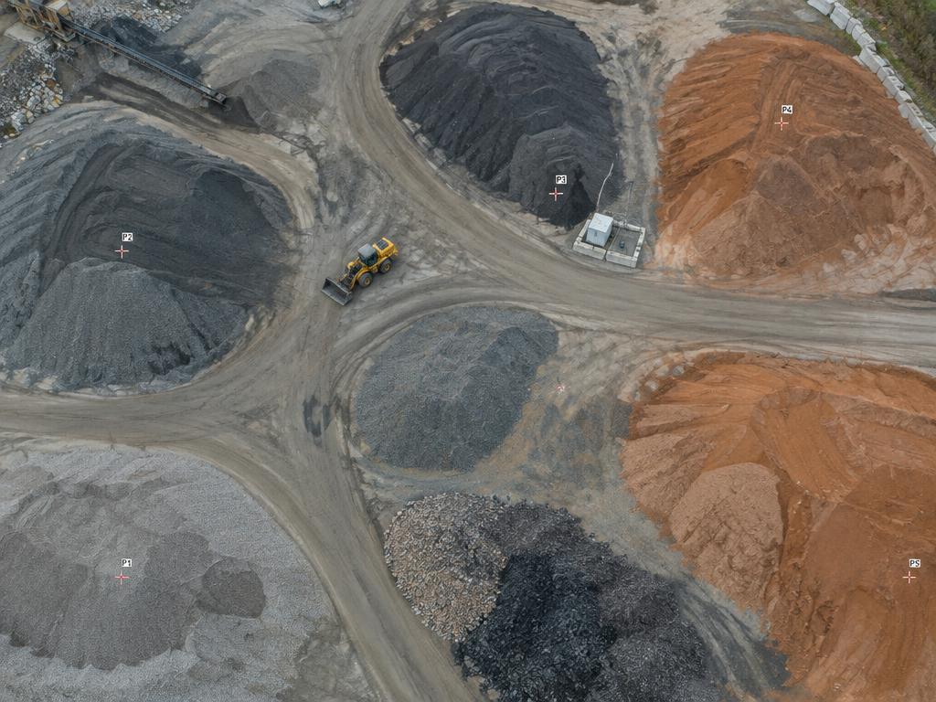
Volumetric Analysis
Measured stockpile and earthwork quantities you can verify.
Contact us
Let’s talk about your project.
Whether you are documenting existing conditions, investigating a specific concern, or need a digital baseline for a complex site, send us a note and we will recommend the right approach.
Contact Vanguard