
About
A Better Way to Understand, Manage, and Protect Your Assets.
Vanguard Geospatial Intelligence helps organizations make better decisions about their facilities, infrastructure, and construction projects by giving them a clearer, more complete picture of what's happening on the ground, from above, and inside their buildings.
Our goal is simple:Better information. Less uncertainty. Smarter decisions.
We combine advanced imaging, mapping, and analytical technologies to document existing conditions, identify potential problems, measure progress, and track changes over time. Our approach often delivers information faster, more safely, and at a lower cost than traditional methods alone — while reducing disruption to everyday operations.
But collecting information is only part of what we do.
We turn that information into practical insights, detailed visual models, measurements, and clear documentation that facilities teams, engineers, construction managers, and decision-makers can put to work. Whether establishing a reliable baseline, evaluating facility conditions, monitoring construction progress, or planning future improvements, our focus is on delivering information that's useful, accessible, and actionable.
We work alongside your existing teams, not in place of them.
Our technologies complement traditional surveying, engineering, and inspection practices, providing additional perspectives, greater visibility, and a more complete understanding of your assets. We tailor our approach to each project's needs, communicate clearly about the capabilities and limitations of our data, and deliver results designed to support both immediate decisions and long-term planning.
How we work
The right tools for each project.
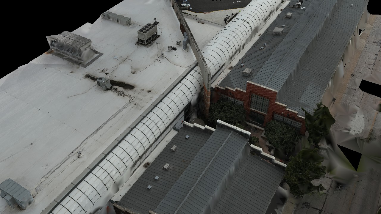
We combine aerial and ground-based imaging, LiDAR, thermal sensing, and advanced mapping technologies to capture detailed information about your physical environment. We select the right tools for each project, then turn the results into clear, useful information that complements traditional inspections, engineering, and asset management practices.
Best-in-class equipment
Enterprise LiDAR, photogrammetry and thermal sensors matched to the question — not the other way around.
Certified & insured
FAA Part 107 certified pilots with comprehensive liability coverage on every project.
Fast turnaround
Quick data processing and delivery to keep your projects on schedule.
Start here
What do you need to understand?
Whether you are documenting existing conditions, investigating a specific concern, establishing a digital baseline, or monitoring change over time, we can help determine the right approach.